Documented
A dated document says so, or it can be seen and measured in a source.
Mequinenza · Bajo Cinca · Aragon
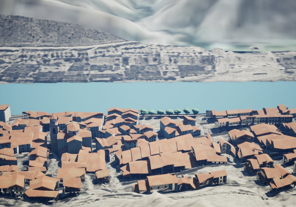
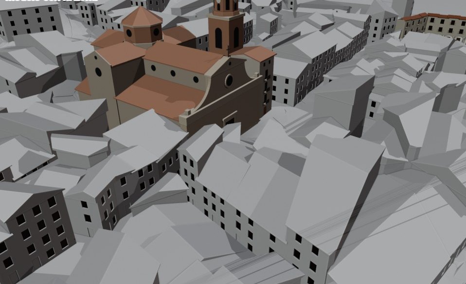
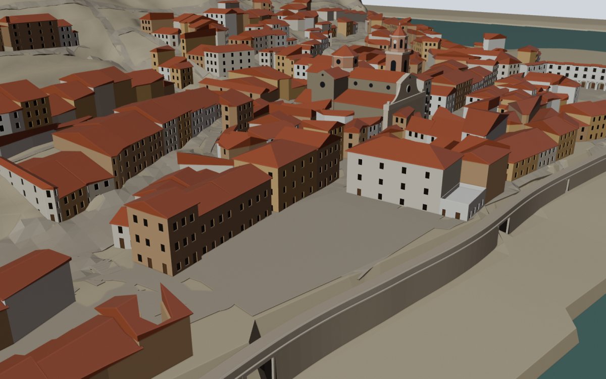
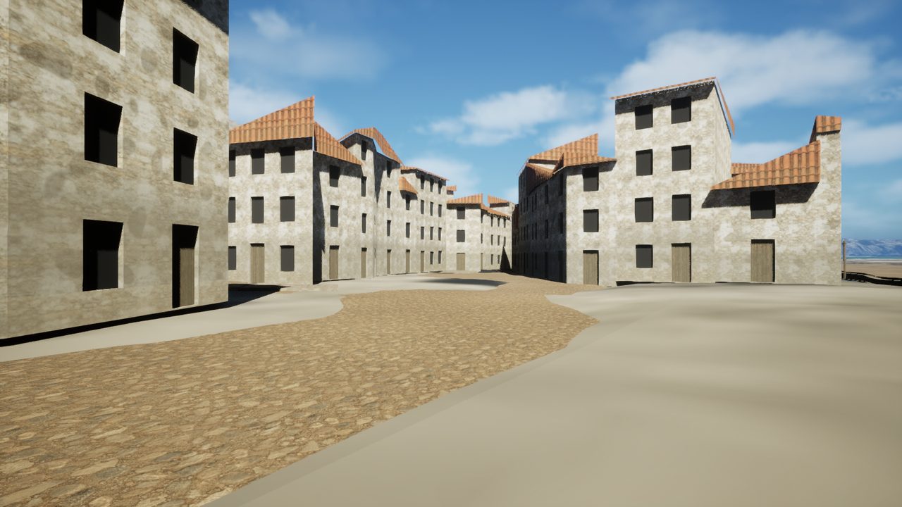
The village on the Ebro that was demolished from 1970 onwards to make way for the Riba-roja reservoir. We are rebuilding it house by house from old photographs, plans and the 1956–57 American aerial survey, and for each house we say what we know and what we don’t.
What we know and how we know it
Three levels · never percentages · always the source
We separate what can be seen in a document, what we deduce from photos, shadows and plans, and what we do not know yet. We show it with a word, a symbol and a border, never with colour alone.
Each house has two summaries: its shape (footprint, heights and roof) and its appearance (façade and colour).
Archive photos are cited house by house. They will be shown once we have permission to publish them.
A dated document says so, or it can be seen and measured in a source.
We deduce it from photos, shadows and plans, using a method we explain in each record.
No source shows it. We use the most likely option and say so.
A · Document
B · Reconstruction
C · How we know
| Feature | Level | Sources |
|---|---|---|
| Footprint | Inferred | 4 |
| Storeys | Inferred | 3 |
| Eaves height | Inferred | 1 |
| Roof | Inferred | 9 |
| Façade | Hypothetical | 0 |
MQN-BLD-0434 · Plaça d'Armes (Plaza de Armas) · shape: inferred · appearance: hypothetical · 12 sources · sin revisar
Streets and places
Catalan names, with the Spanish alongside
Every street and every house has its own page, with its names, its sources and what we know about it. They open straight away, even on a basic phone.
What already exists
Memory, photos and a route: complements, not substitutes
This reconstruction adds to what the town and its institutions already look after. For photos, memories or a walk around what remains, start here.
Since 2018, «La memòria dels carrers» has been bringing former residents together, street by street, to collect memories, documents and photos.
A session of «La memòria dels carrers», on the Museos de Mequinenza website (another website)
‘Imágenes para la Memoria’ (Images for Memory): a map of nearly 300 photographs of the old village, each placed where it was taken, created in 2020 from «La memòria dels carrers». The map has since been taken down; the project page is still online.
Imágenes para la Memoria (another website)
The old village, on the Museos de Mequinenza website (another website)
Since 2013, the Town Council has offered a 10-stop route around what remains of the old village, with audio guides in four languages.
The route and its audio guides, on the Town Council’s website (another website)
An open project
It grows with local people’s photos and memories
This reconstruction is a living project: it is not finished, and it never entirely will be. Every photo, every memory and every correction can change a house. The older people who lived in the village, and their families, are the ones who can help most.
Progress
The village is being rebuilt area by area
Después del Carrer Saragossa tocaban las dos calles que suben de ella hacia el castillo. […]
El Carrer Saragossa del modelo era casi el doble de ancho que el de verdad. […]
Las naves de la fábrica de regaliz estaban unos 13 metros al oeste de donde tocaban. La primera lectura supuso el sol por el lado equivocado y midió una foto con una escala que no era. […]