Road
Carretera
Map of Carretera. Extract from our own map, about 166 m on each side, with north at the top and a 50 m scale bar. Highlighted: Carretera. The houses around it link to their records; the lists on the page have the same links.
- Its houses
- Other houses
The road in the Poble Vell (the old village) of Mequinenza, which stood by the Ebro and was demolished from 1970 onwards to make way for the Riba-roja reservoir.
It has 4 houses in the reconstruction.
Names
| In Catalan | Carretera |
|---|---|
| In Spanish | Carretera · same as in Catalan |
| Identifier | carretera |
Where each name comes from
We have not yet recorded which document each name comes from.
Photos recreated with AI
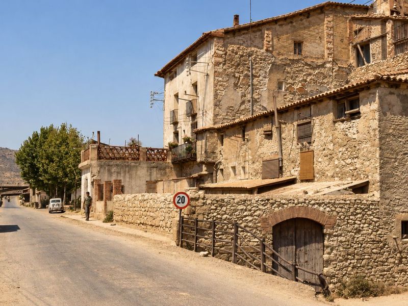
La carretera de Fraga junto a Lo Muro
Recreación cromática y visual mediante IA a partir de fotografía histórica. La carretera pasa junto a un muro de piedra con portal de ladrillo y una señal con un 20; detrás, casas desconchadas con galerías y balcones, y un peatón y un coche a lo lejos. Entrada por la carretera, junto al cartel de Mequinenza
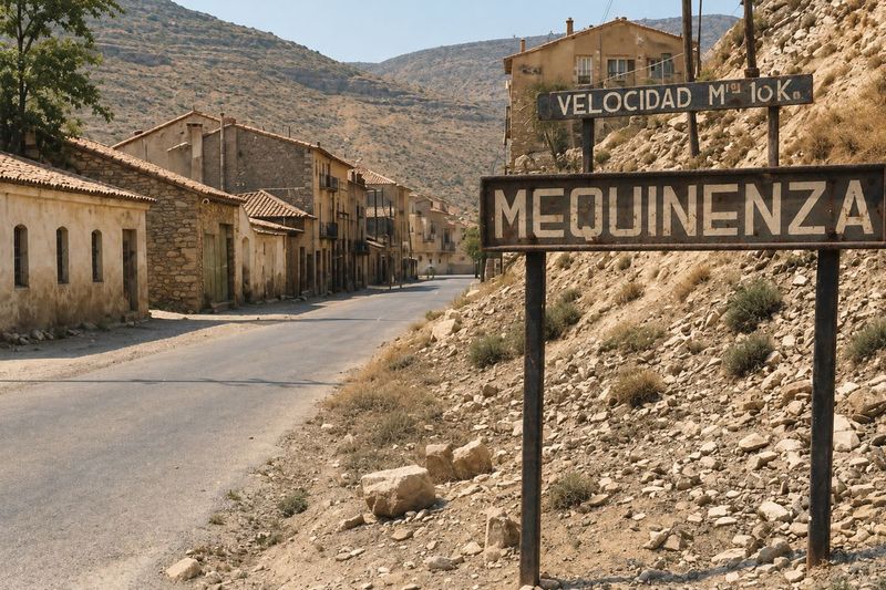
Recreación cromática y visual mediante IA a partir de fotografía histórica. Carretera de tierra que entra al pueblo, con el cartel de Mequinenza y otro de velocidad sobre un talud de piedras, casas bajas a la izquierda y un cerro abancalado detrás. What the AI changed
- El edificio alto del fondo a la derecha sale más claro y con balcones que la foto no distingue.
- El talud de la derecha gana matas verdes donde la foto muestra manchas oscuras.
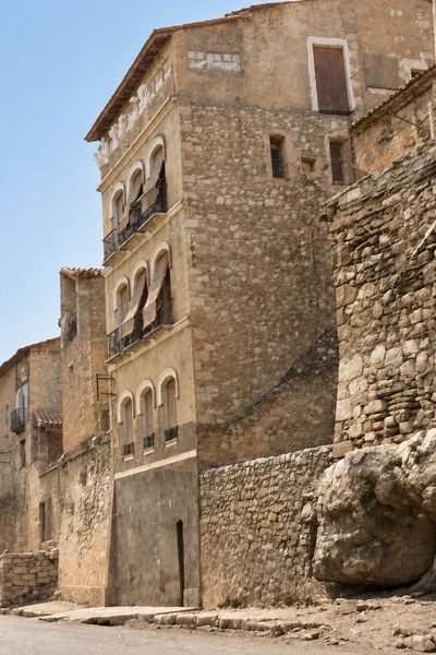
La casa de los Casto Riau, junto a la carretera
Recreación cromática y visual mediante IA a partir de fotografía histórica. Torre de cuatro pisos con ventanas y balcones en arco, adosada a un muro de mampostería y a una roca grande, con fachada a la carretera.
Houses 4 in the reconstruction
carretera · road · 4 houses · 4 sections on the map