Street
Carrer Faió
(Calle Fayón)
Map of Carrer Faió. Extract from our own map, about 80 m on each side, with north at the top and a 20 m scale bar. Highlighted: Carrer Faió (Calle Fayón). The houses around it link to their records; the lists on the page have the same links.
- Its houses
- Other houses
A street in the Poble Vell (the old village) of Mequinenza, which stood by the Ebro and was demolished from 1970 onwards to make way for the Riba-roja reservoir.
It has 4 houses in the reconstruction.
Names
| In Catalan | Carrer Faió |
|---|---|
| In Spanish | Calle Fayón · as in the photo captions |
| 1968 map | No. 13 in the key to the 1968 map |
| Identifier | carrer-faio |
Where each name comes from
- «Calle de Fayón» · official name, from hacia 1965Plano parcelario municipal (MQN-SRC-PLANO-PARCELARIO): rótulos R040 (hoja_centro): «C. de Fayón»; transcripción en trabajo/plano_parcelario/rotulos.json
Photos recreated with AI
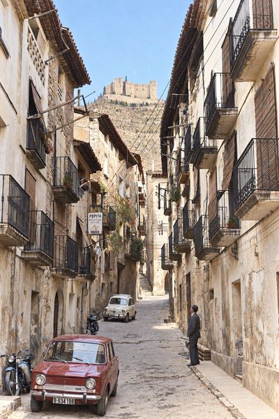
El Carrer Faió, con el castillo al fondo
Recreación cromática y visual mediante IA a partir de fotografía histórica. Calle de balcones de forja y persianas enrolladas, con el rótulo de la peluquería, dos Seat de la época y el castillo cerrando la calle. What the AI changed
- El castillo del fondo sale más nítido y con más torres que en la foto, donde apenas se adivina.
- El cielo es más azul que el de un verano seco.
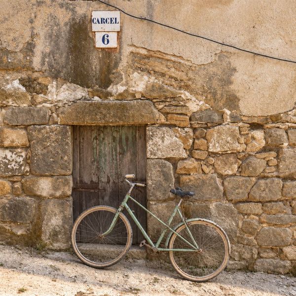
La «presó» del carrer Faió
Recreación cromática y visual mediante IA a partir de fotografía histórica. Fachada de la «presó» con la placa «CARCEL 6» sobre un muro de grandes piedras, una puerta de madera y una bicicleta apoyada. What the AI changed
- El sillín de la bicicleta sale más grande y definido que en la foto.
Houses 4 in the reconstruction
carrer-faio · street · 4 houses · 1 section on the map · no. 13 on the 1968 map